DC3 Experimental Design
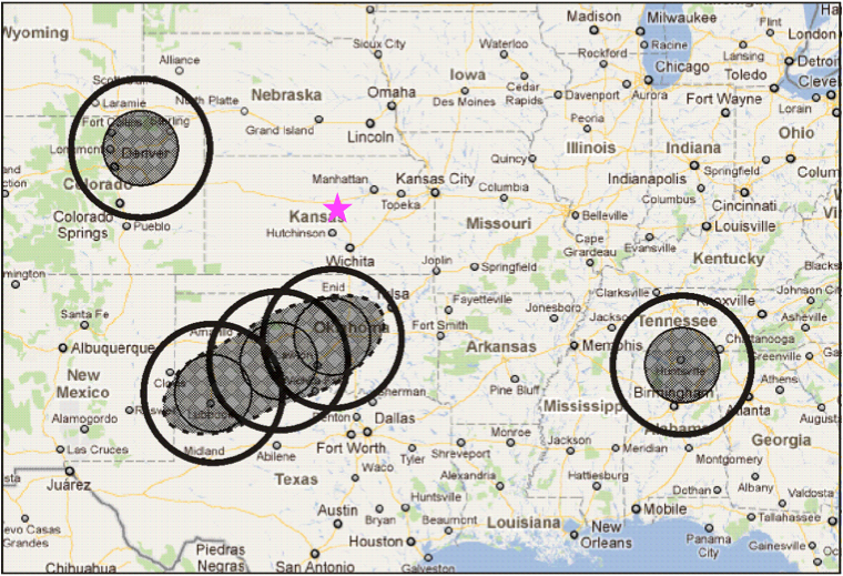
Figure 1. The aircraft and operations crews are based in Salina, Kansas (pink star) . The aircraft will sample the inflow and UT convective outflow regions of thunderstorms in northeast Colorado, west Texas to central Oklahoma, and northern Alabama.
The three sampling regions were chosen because 1) they all have sufficient ground-based facilities, 2) the likelihood of convection occurring in one of the three places is good, and 3) the three regions offer us the ability to contrast different environments.
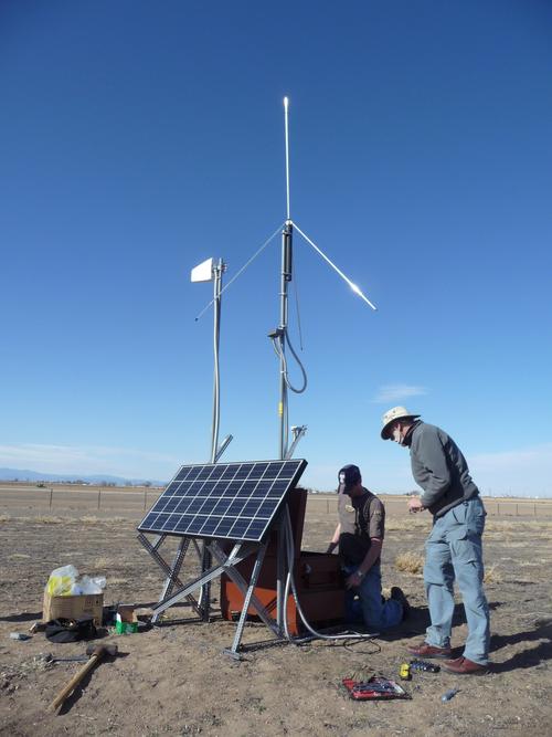
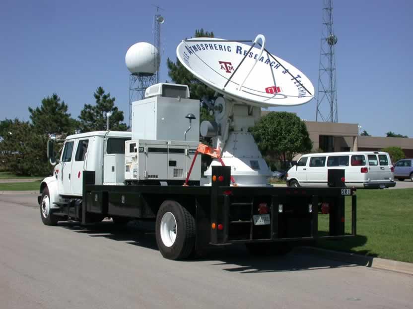
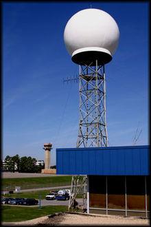
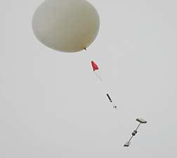
Northeast Colorado has shear-driven, high cloud base storms occurring over a region with low biogenic volatile organic compounds (VOCs) and moderate to high anthropogenic VOCs. The facilities include the CSU CHILL and PAWNEE radars, the NMT lightning mapping array, radiosondes launched by NCAR/EOL staff, and the MISS facility for profiling winds to the mid-troposphere.
Central Oklahoma and West Texas has primarily shear-driven thunderstorms and some airmass storms occurring over a region with low to moderate biogenic VOCs and low to moderately high anthropogenic VOCs. The facilities include two mobile SMART radars, 3 LMAs (TTU array near Lubbock, TX, NOAA/NSSL arrays in southwest and central Oklahoma), and radiosondes launched by NOAA/NSSL and OU staff. Balloons to measure the electrical characteristics of storms are also being launched in Oklahoma and west Texas storms.
Northern Alabama has some shear-driven thunderstorms (in May) and airmass thunderstorms (in June) occurring over a region with high biogenic VOCs and moderate to high anthropogenic VOCs. The facilities include the ARMOR and MAX radars, the UA-H LMA, radiosondes launched by UA-H staff, and MIPS facility for profiling winds to the mid-troposphere.
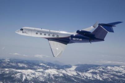
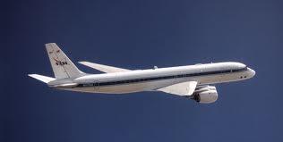
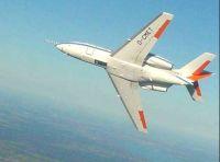
Three aircraft will sample the inflow and outflow regions of thunderstorms. The NSF/NCAR G-V is sampling primarily the anvil and convective outflow regions in the upper troposphere (8-15 km). The NASA DC-8 is sampling primarily the inflow region of the storm and the mid- to upper troposphere (0.5-12 km). For 3 weeks of the experiment, the DLR Falcon is sampling fresh convective outflow (8-13 km).
Weather forecasting and predicting the location of the UT convective outflow plume after active convection is making use of several high-resolution models. The Weather Research and Forecasting (WRF) model is being run at 3 km grid spacing for the Rocky Mountains to Appalachians region by NCAR and at 4 km grid spacing by NOAA/NSSL. WRF is being run by TTU at 3 km grid spacing for the greater west Texas and Oklahoma region. The NCAR WRF simulations include tracer forecasts to predict the location of the downwind outflow. A Lagrangian particle model (FLEXPART) is being used by NOAA/ESRL to predict the location of the air that the UT aircraft sampled. The global-scale chemistry transport model, MOZART, gives information on the context of the chemical environment including information on species from biomass burning and long-range transport.
Satellite data are used for field operations and analysis. Satellite products include GOES imagery, OMI and GOME NO2, MOPITT and IASI CO.
Gallery
|
|
|
|
|
|
|
|
|
|