Project Description
The Initiative
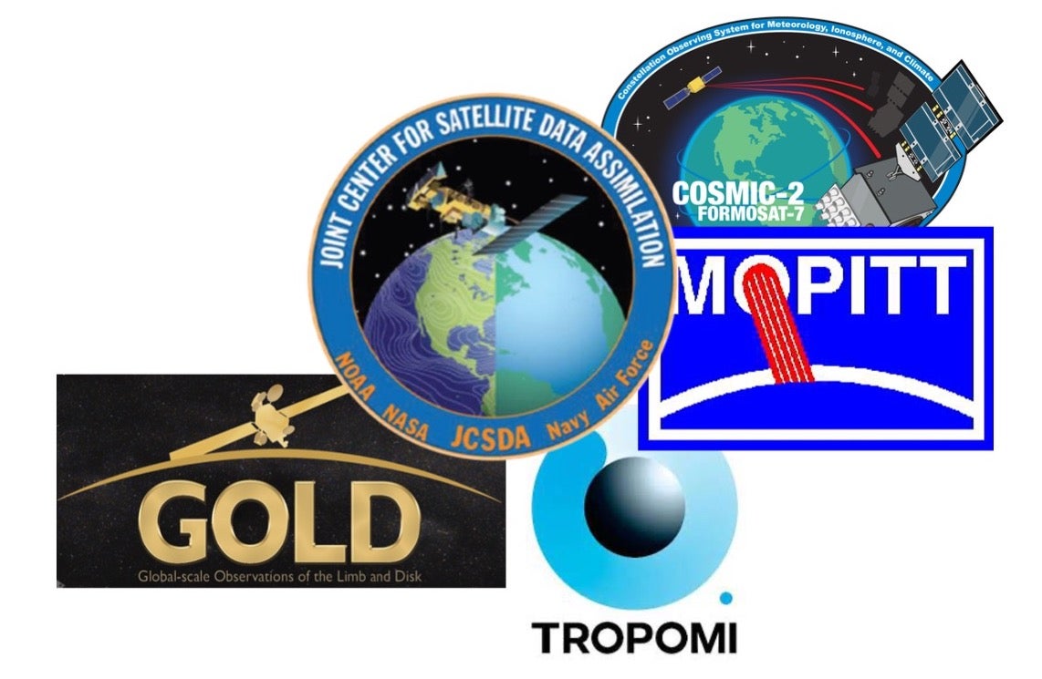
The satellite missions of the last couple of decades have led to a wealth of information for the atmospheric and related sciences. Satellite imagery and datasets provide an increasingly important perspective withe observations that have reached the spatiotemporal scales needed to confront and inform Earth-system model (ESM) predictive capability. This view from space provides essential observational datasets that must be considered in our work.
NCAR and UCP have long histories in satellite remote sensing, leading and partnering at every stage of mission development: science driven concept, instrument design, authoring science algorithms, operational data processing, validation, scientific utilization of measurements, data assimilation and enabling societal applications. At the same time, from a strategic planning perspective, there has been minimal coordination between the different projects, exacerbated by the fact they are nearly always externally funded.
Across the UCAR entities we currently have diverse expertise in remote sensing science and there is opportunity to significantly develop cross-organization communication, fertilization, and coordination. People are not necessarily aware of all that is going on and may be missing out on sharing resources and knowledge. By improving our internal collaboration, we can more effectively and successfully respond to external opportunities, and by increasing our visibility, we will be more often seen and approached as a potential collaborator. Strategically addressing these issues and increasing the prominence of our remote sensing capabilities is the purpose of this PSIF UCAR Remote Sensing Initiative.
Goals of this project
- Increased visibility for current satellite remote sensing activities across UCAR by providing a contact focal point to promote both internal and external collaborations.
- A clear articulation of how remote sensing supports the various UCAR entity Strategic Plans.
- A framework for increased cross-center coordination and cooperation to optimize our chances of success in the development of new satellite instrument and mission projects and proposals.
- Promotion of the integration of satellite data within our ESM forecasting activities.
- Opportunities for university community engagement through visits and training.
- A vision to describe the future of remote sensing at UCAR and exploration of new partnerships with the wider satellite community.