Satellite Images Show Areas in California Wildfires Miraculously Spared
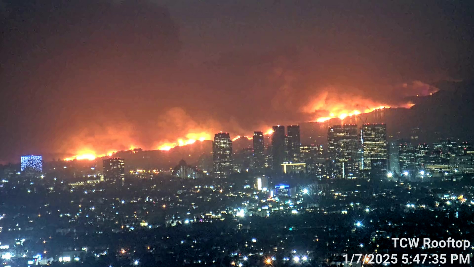
The Pacific Palisades fire, the most destructive wildfire in Los Angeles history, has scorched nearly 20,000 acres, according to CAL FIRE's latest figures, but as the images show, some areas of land and structures have managed to escape the flames.
Frank Flocke, a senior scientist at NSF National Center for Atmospheric Research (NCAR), told Newsweek: "The variability of winds on a fine scale due to terrain or obstacles" could be part of the reason some areas of vegetation have avoided being burned.
He added that "tree type, soil moisture, water availability or vegetation proximity to a creek" might also be at play.
Read more at Newsweek.
Teaser image